
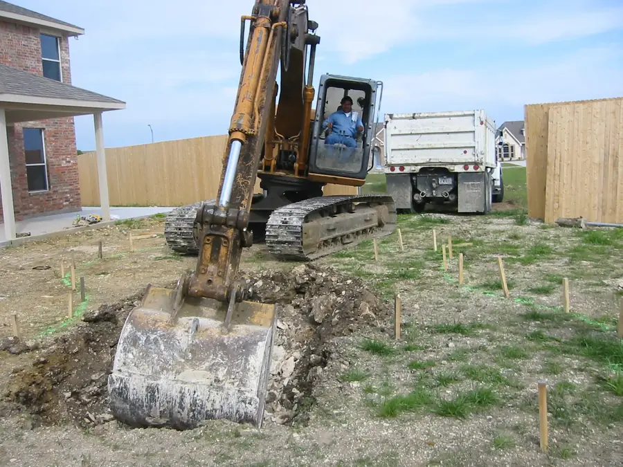
PVR stands for potential vertical rise. In geotechnical work, it is an empirical estimate of the vertical swell that expansive soil could experience under assumed moisture changes. For a North Texas pool project, PVR can help identify soil-movement risk that deserves property-specific attention—but the number does not design a pool, diagnose an entire neighborhood, or determine one universal construction response.
What PVR is actually measuring
The Federal Highway Administration describes the PVR method as a way to predict the amount of swell in expansive soil. The procedure uses information such as the depth of expansive layers, natural moisture content, liquid limit, plasticity index, and the portion of fine material in sampled soil layers.
TxDOT lists Tex-124-E, Determining Potential Vertical Rise, as its recommended PVR procedure for pavement subgrade analysis and describes PVR as the swell potential of subgrade soils. Those are roadway references, not a swimming-pool design standard, but they explain what the acronym means and why laboratory and subsurface information matter.
A reported value is therefore tied to a method, samples, depths, moisture assumptions, and soil profile. It should be read with the report that produced it rather than copied out as a stand-alone verdict.
- Potential: an estimate under stated assumptions, not a guaranteed movement
- Vertical: the estimated upward component of swell
- Rise: reported as a movement amount for the analyzed soil column
- Method-dependent: sampling depth, soil layers, moisture, and index properties matter
Why North Texas clay brings PVR into the conversation
Expansive clay changes volume as moisture changes. FHWA guidance explains that swelling soils can shrink when moisture is lost and expand when moisture increases. The magnitude depends on the soil type and the change in moisture conditions.
North Texas is not one uniform soil profile. USDA’s Web Soil Survey is the authoritative national soil-survey source and can show mapped soil units for a specific area of interest. USDA also cautions that onsite investigation is needed for some detailed applications.
Official USDA descriptions illustrate the variability. The Ferris series, mapped in Texas and associated with Ellis soils, is described as clayey residuum with very slow permeability and seasonal cracks. A mapped series can flag questions, but it cannot substitute for observations and samples at the proposed pool location.
- Clay mineralogy and plasticity influence shrink-swell behavior
- Seasonal moisture changes can affect soil volume
- Different layers on one property can behave differently
- A county or subdivision label is not a site-specific soil profile
What goes into a PVR estimate
FHWA’s published protocol calls for representative subgrade samples and evaluates Atterberg limits, natural moisture, the depth of expansive subgrade, and fine material. Its laboratory form records PVR for individual depth intervals and a total for the location.
TxDOT’s pavement manual likewise pairs PVR with soil-strata study, severity, analysis methodology, depth, sulfates, treatment strategy, and constructability. That context is a useful warning against treating one number as the entire report.
For a residential property, the scope and terminology of any requested investigation should be set by the appropriate project professionals. A roadway threshold from TxDOT should not be copied into a pool decision as if it were a residential code requirement.
- Where the samples were taken
- How deep the exploration extended
- Which soil layers were encountered
- Natural moisture and laboratory index properties
- The calculation method and assumptions
- Recommendations and limitations stated in the report
What a PVR number does not tell you by itself
PVR does not show the complete shape of the yard, drainage route, utility layout, equipment access, groundwater conditions, fill history, or the loads and geometry of the proposed pool and surrounding structures.
It also does not automatically select a structural system or soil response. Two projects with similar reported values can have different designs, elevations, adjacent structures, walls, access limitations, and risk tolerances.
Most importantly, PVR is not a promise that the ground will move exactly that amount. It is an estimate produced under stated conditions. The report’s limitations and the actual proposed work have to be considered together.
When a soil report or added review may be useful
A project team may request property-specific geotechnical information when the site has known expansive clay, unusual fill, visible distress, significant grade change, nearby slopes, complex retaining conditions, or uncertainty that cannot be resolved from available records and site observations.
A city, reviewing authority, structural professional, or project-specific design process may also require documentation. Requirements can change by jurisdiction and scope, so the current authority and the professionals responsible for the proposed work should be consulted rather than relying on a general article.
If a report already exists, provide the complete document—not only the PVR line. Boring logs, laboratory results, layer descriptions, recommendations, and limitations give the number its meaning.
- Existing soil or foundation reports for the property
- A current survey and proposed pool location
- Known fill, previous grading, or drainage work
- Visible slope, retaining walls, or nearby structures
- Any requirements communicated by the city, HOA, or project professionals
PVR and retaining walls are related questions—not the same question
PVR concerns potential vertical swell in expansive soil under a defined analysis. Retaining walls address grade differences and lateral soil or surcharge conditions. A sloped pool project may need both topics reviewed, but one does not replace the other.
The pool elevation, deck transitions, drainage path, wall location, nearby structures, and construction sequence all affect how a difficult lot is planned. This is why King Pools asks for a survey and property information early when slope or walls may be involved.
A dramatic finished wall or raised pool may look like a style choice in a photograph. Behind that image are project-specific elevation, drainage, access, soil, and structural decisions that should not be copied from another property.
A practical homeowner checklist
Before the first detailed design conversation, collect what is already available. A survey, previous geotechnical report, foundation documents, HOA criteria, utility information, and photographs of slope or access can make the early review more useful.
Ask what the PVR value represents, what depth was studied, whether multiple borings or layers were evaluated, which moisture assumptions were used, and how the report’s recommendations relate to the proposed pool and adjacent work.
Do not compare isolated PVR values from different reports unless the methods, depths, soil profiles, and assumptions are understood. The smaller number is not automatically the better or more conservative report.
- Share the complete survey and any existing report
- Identify the intended pool, spa, deck, and wall areas
- Point out drainage, slope, cracks, fill, and access concerns
- Confirm current city and HOA review requirements
- Keep recommendations connected to the actual report and proposed design
How King Pools uses the information
King Pools uses the address, survey, site conditions, available reports, and desired design to identify questions that need to be resolved before scope and pricing are finalized. The goal is not to turn one soil value into a sales answer.
If property-specific engineering or geotechnical review is needed, the responsible professionals should evaluate the actual proposed work and current information. King Pools can coordinate the construction conversation around those project documents without representing a general PVR number as a universal solution.
For homeowners, the best next step is simple: bring the complete information early. That creates a clearer discussion about pool location, elevation, access, drainage, walls, schedule, and budget.
Common questions
Frequently asked questions
What does PVR stand for in a soil report?
PVR stands for potential vertical rise. It is an empirical estimate of vertical swell in expansive soil under the method and assumptions used in the report.
Is a higher PVR always bad for a pool project?
A higher estimate can signal greater potential movement, but the number must be read with the soil profile, sampling depth, method, report recommendations, proposed design, and property conditions. It is not a pass-fail answer by itself.
Can a USDA soil map replace a soil report?
No. Web Soil Survey is useful for general planning and mapped soil context. USDA states that onsite investigation is needed for some detailed applications.
Does every North Texas pool need a geotechnical report?
There is no single answer for every property and scope. Current jurisdictional requirements, site conditions, existing information, and the professionals responsible for the proposed work determine what documentation is needed.
Should I send King Pools only the page that lists PVR?
Send the complete report. Boring logs, lab data, layer descriptions, recommendations, assumptions, and limitations are necessary context for the PVR value.
Next step
Bring the complete property information
Share the survey, address, available soil report, slope or drainage concerns, and the project goals so the right questions can be identified early.